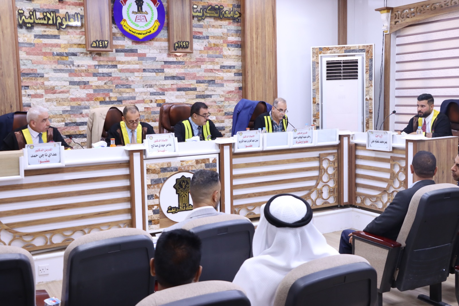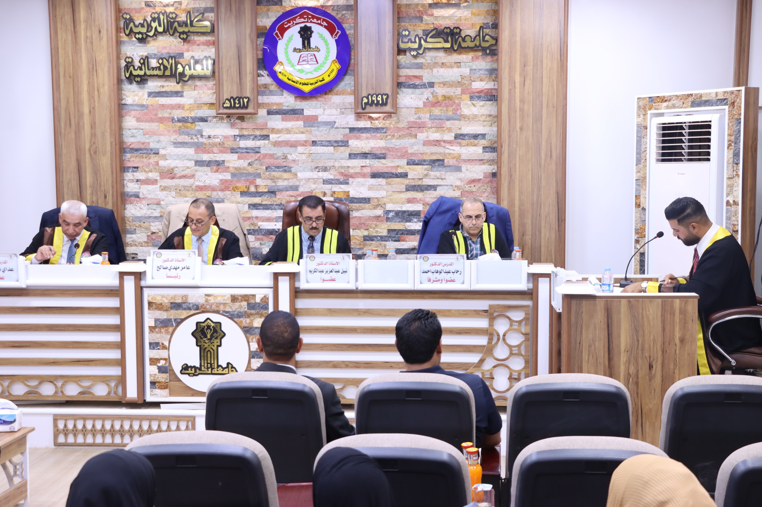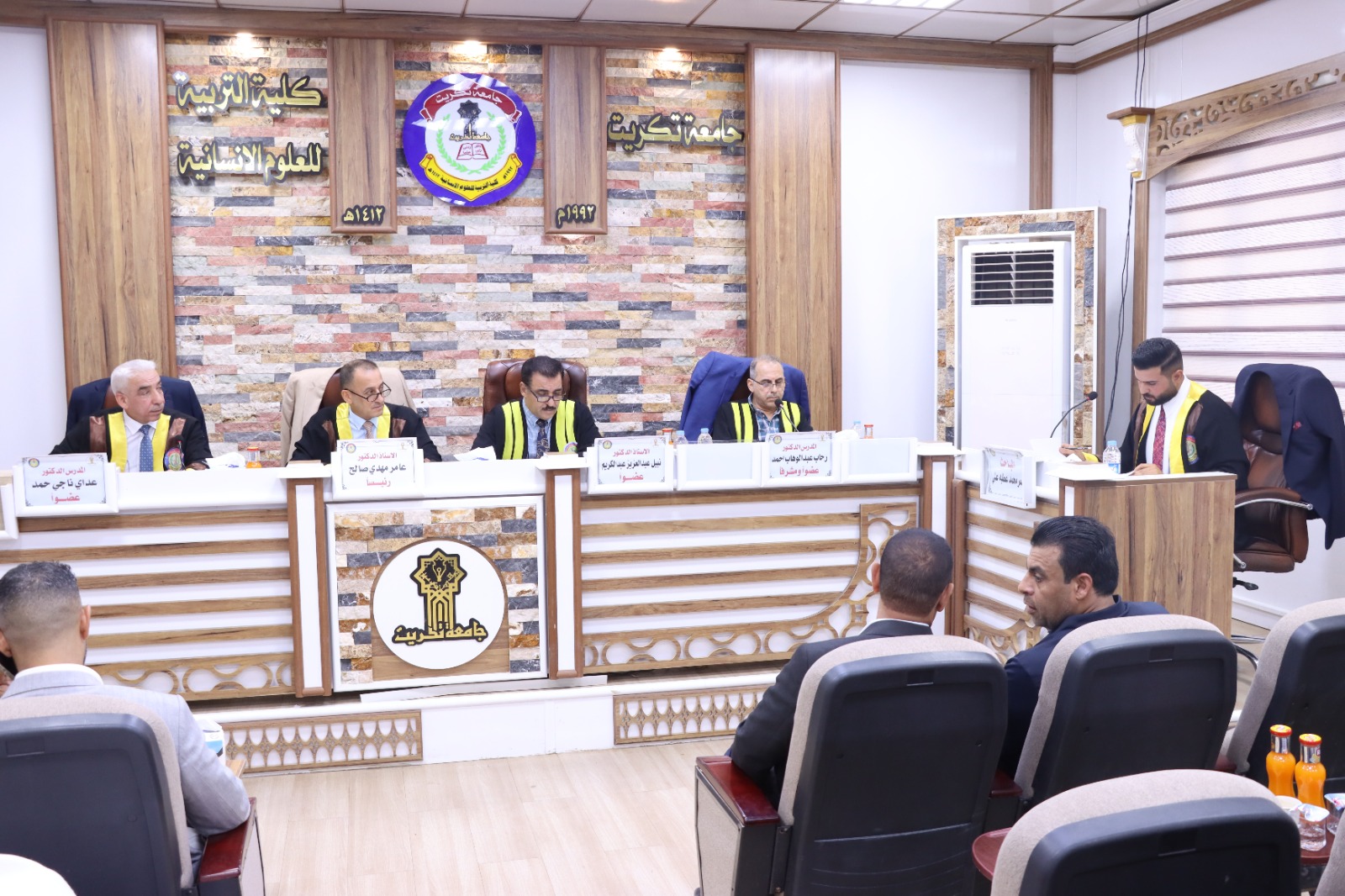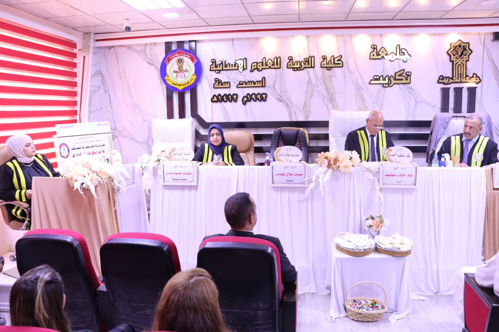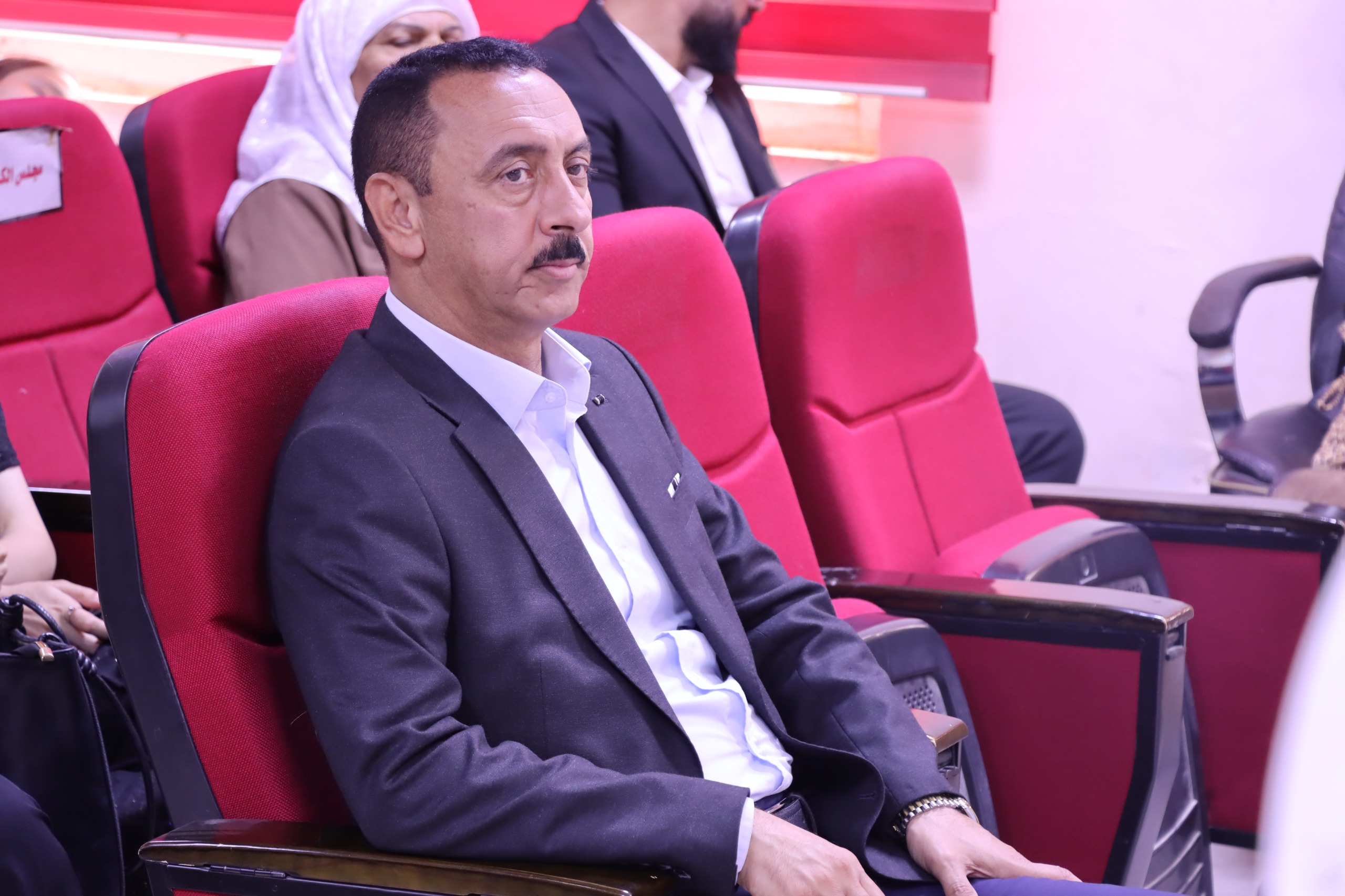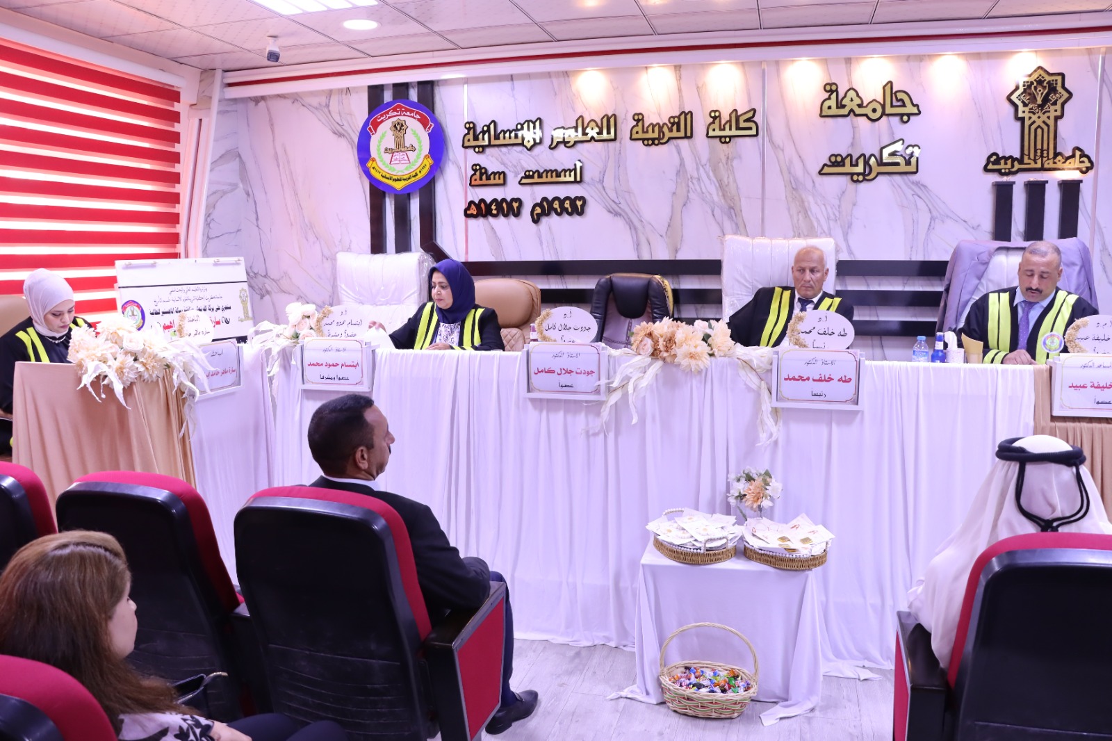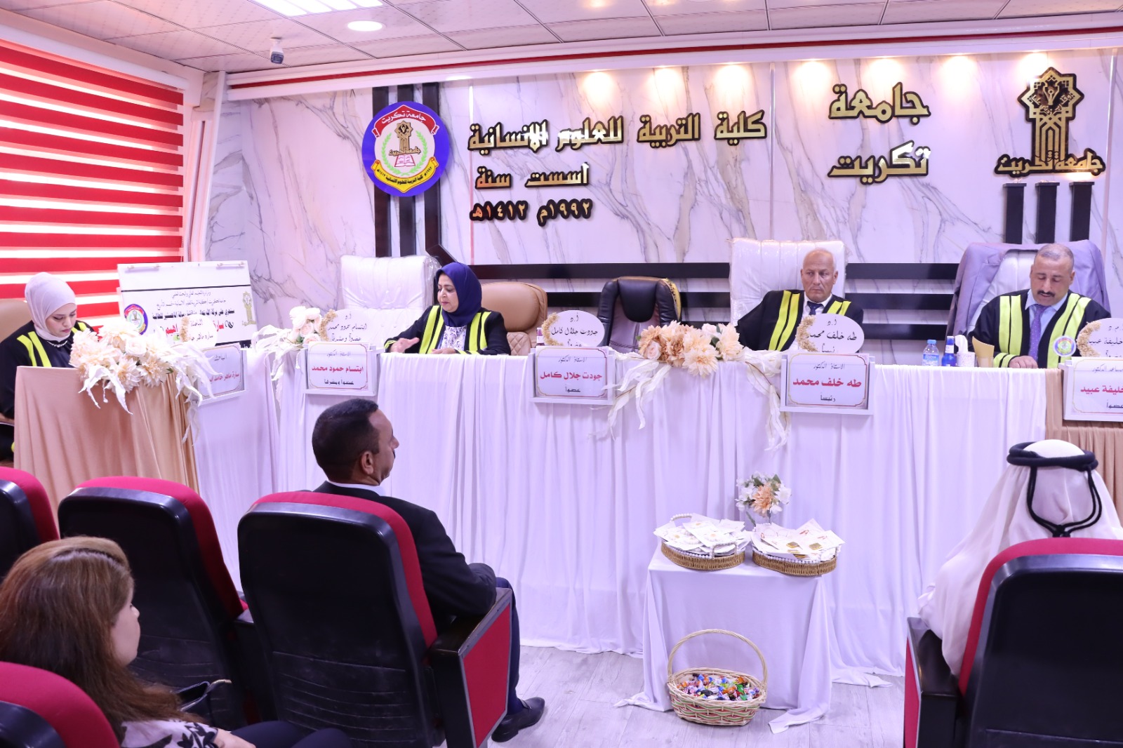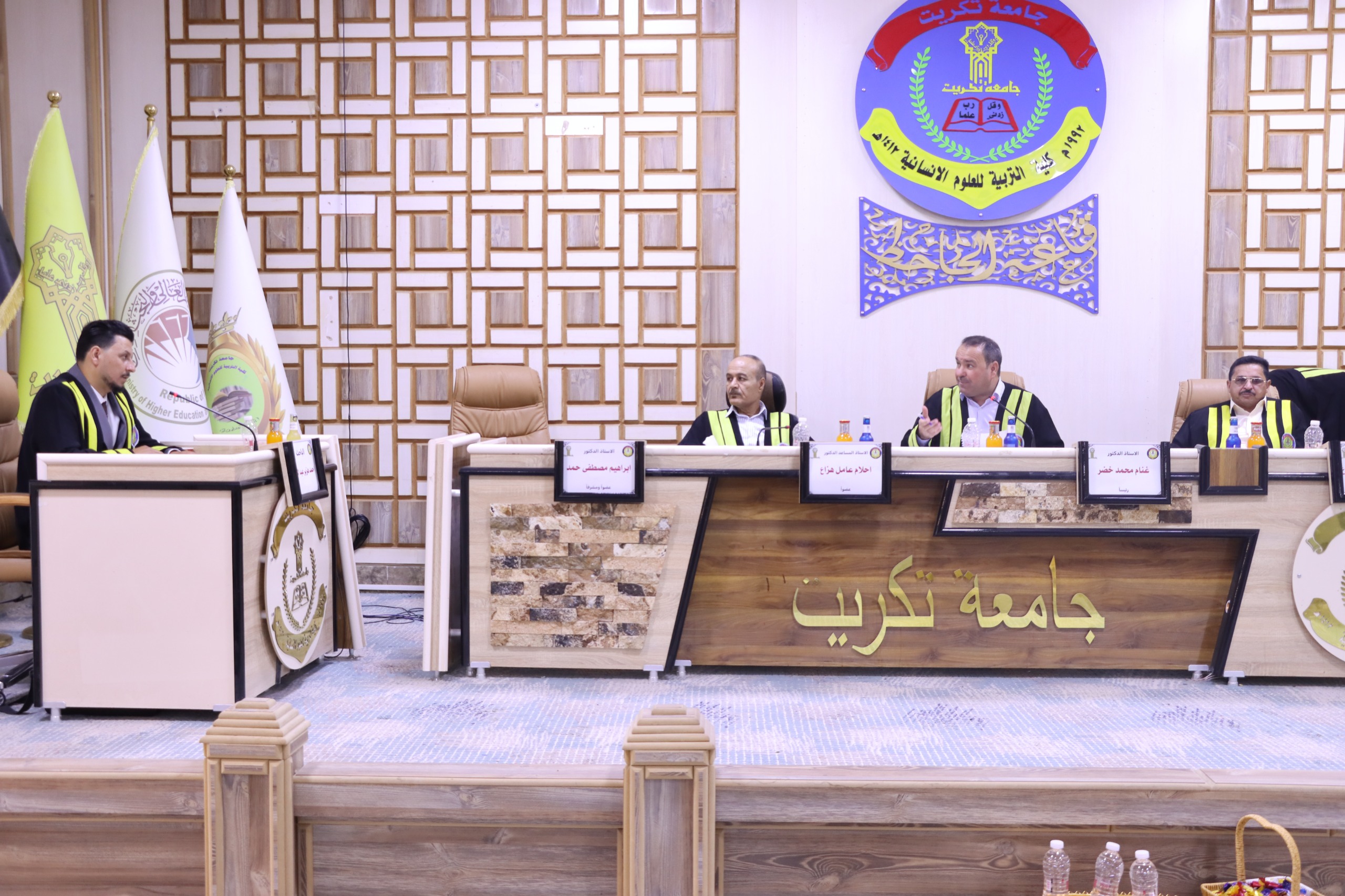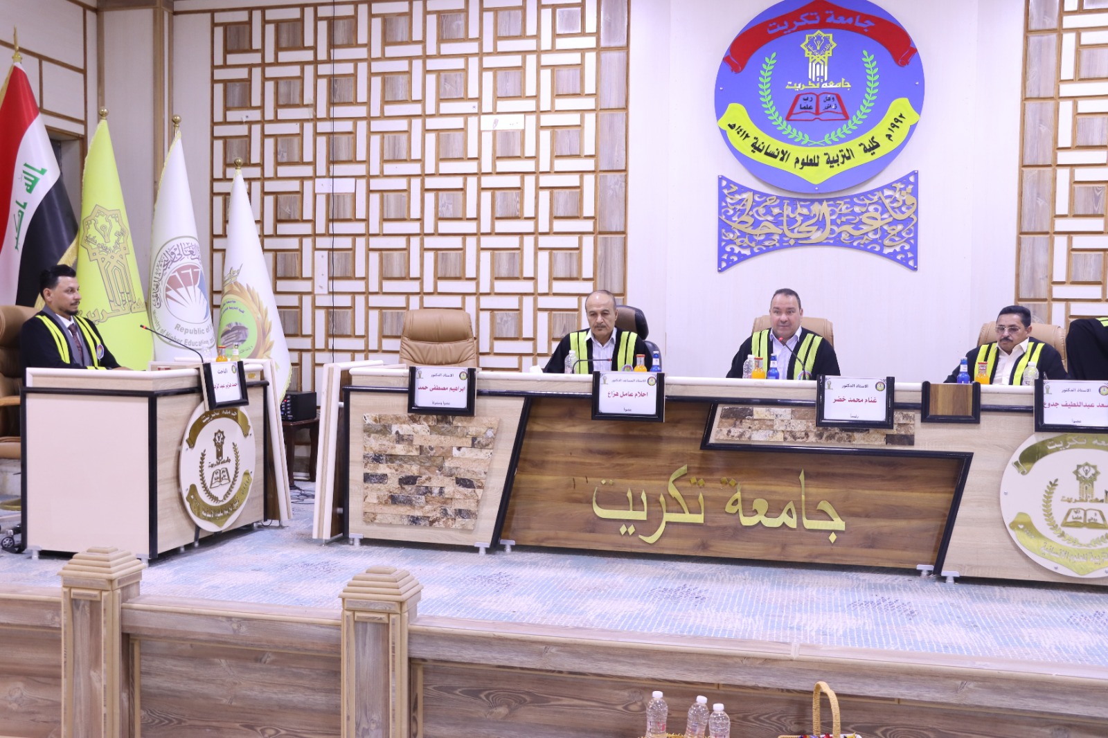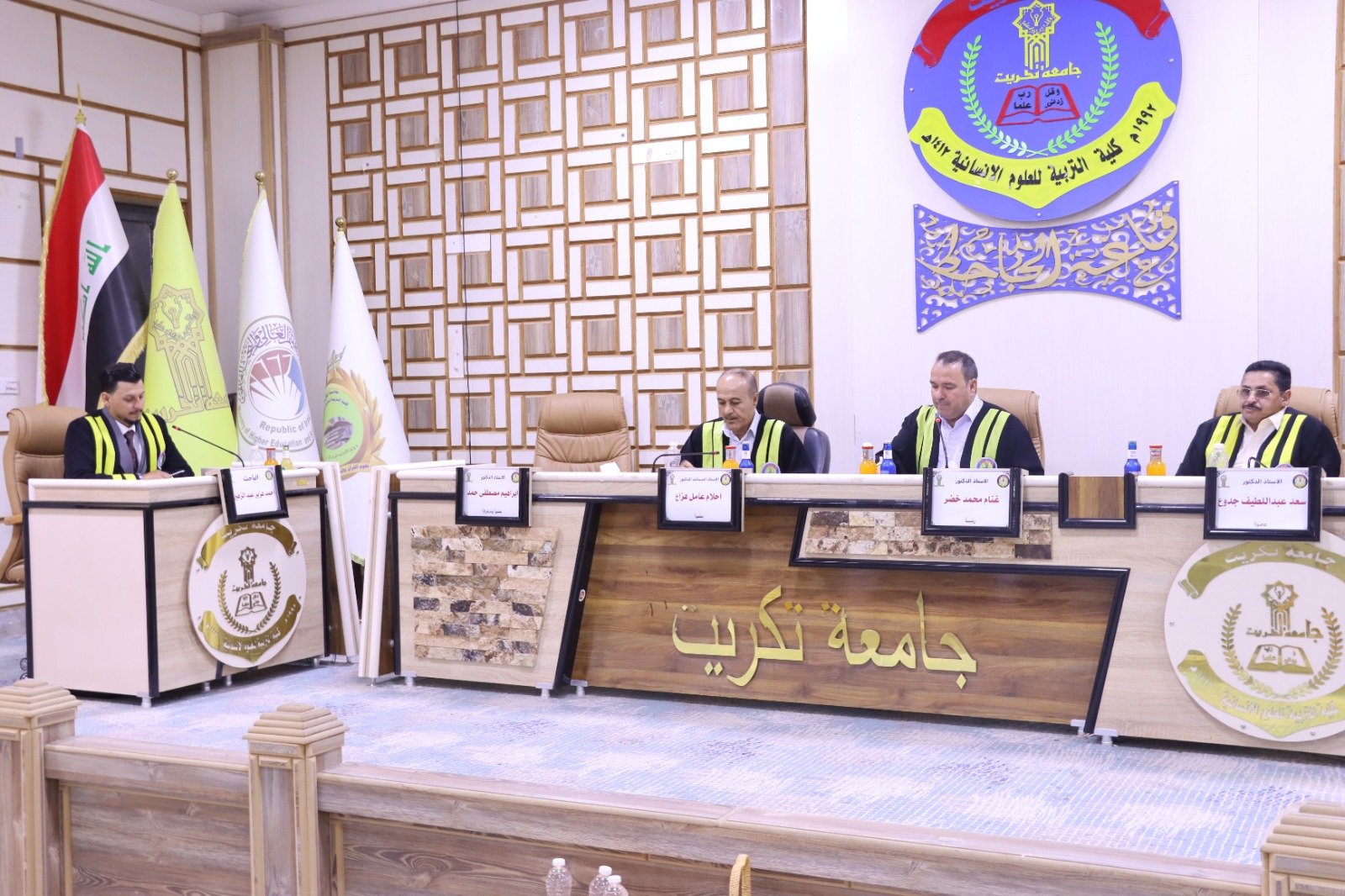
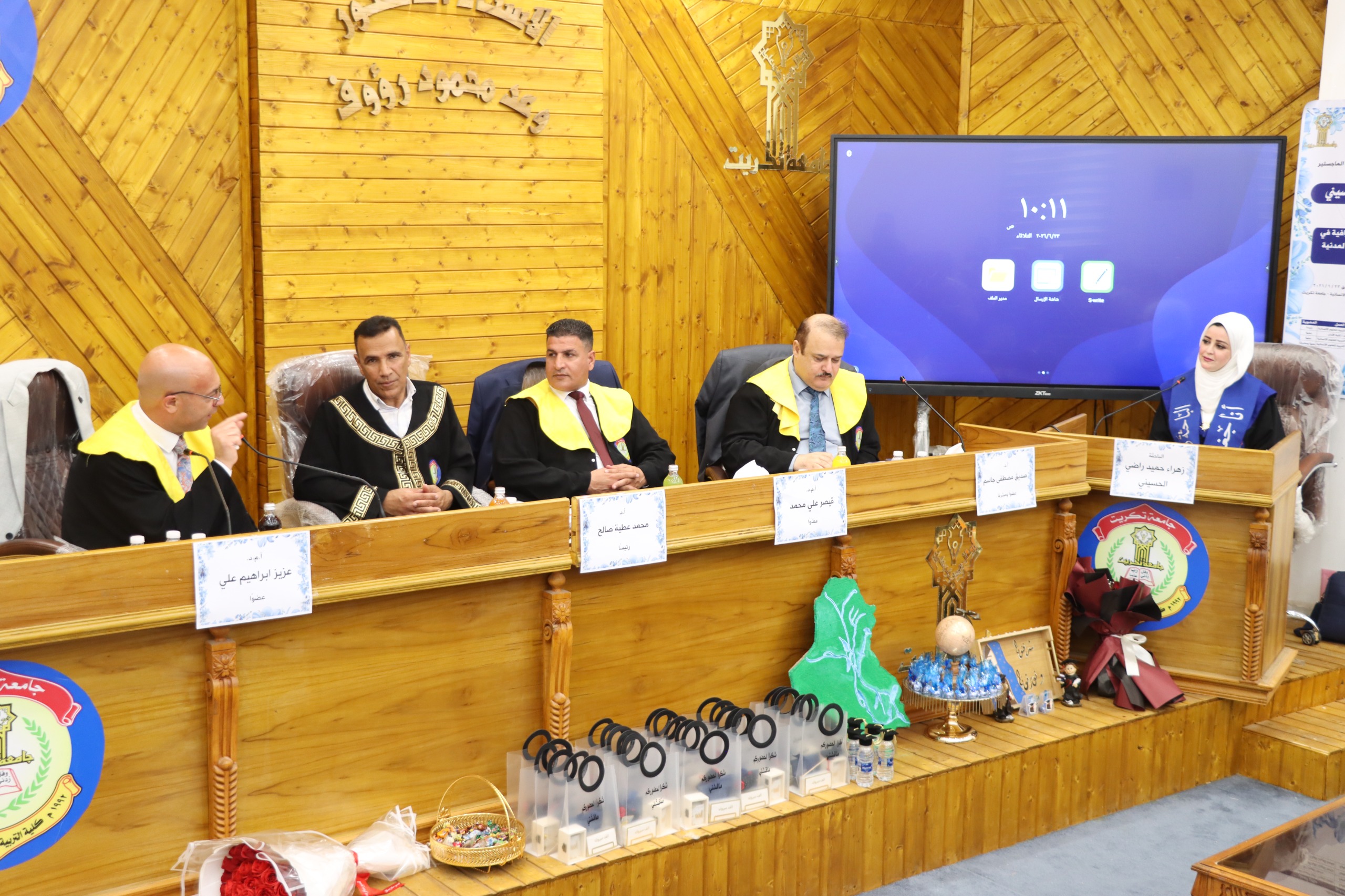
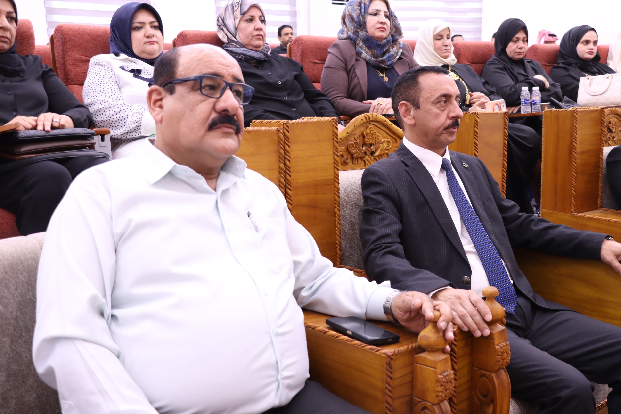
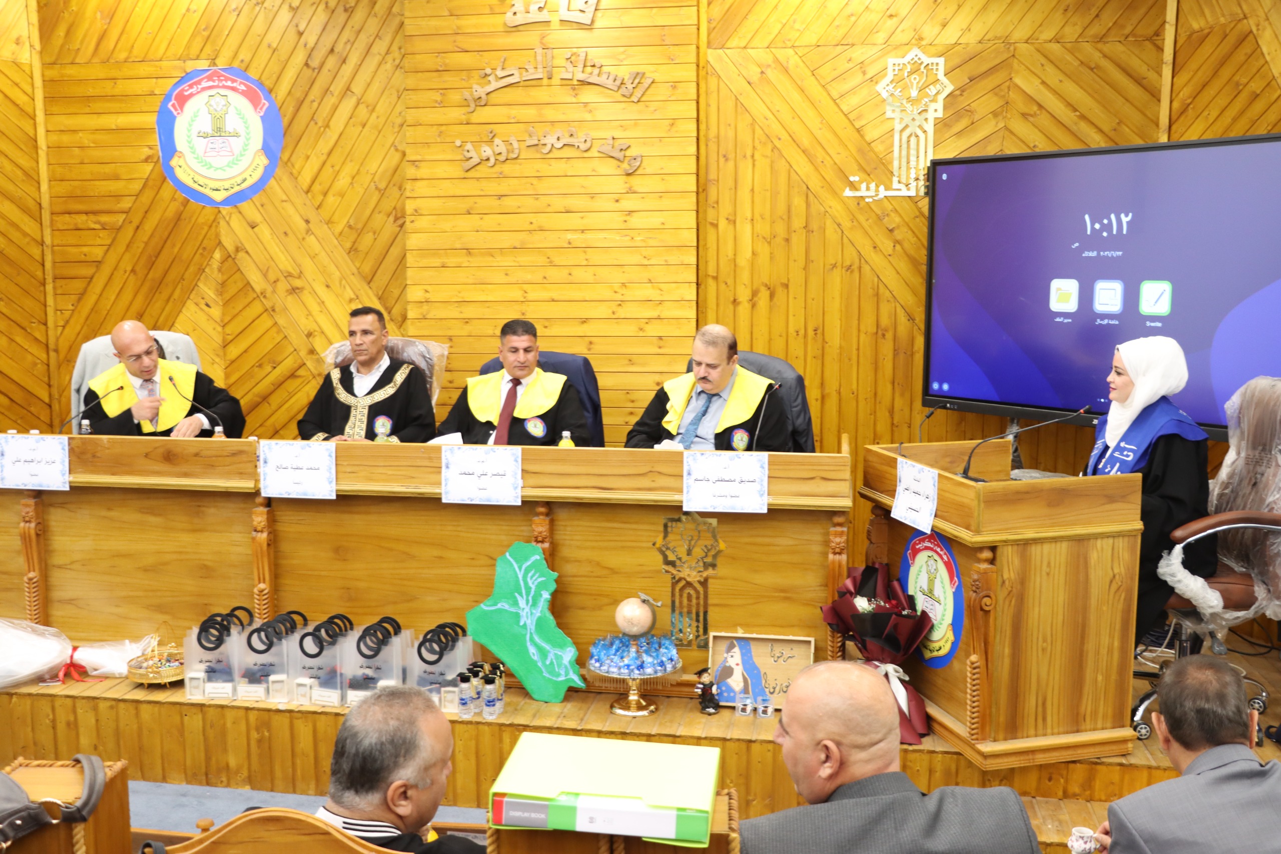
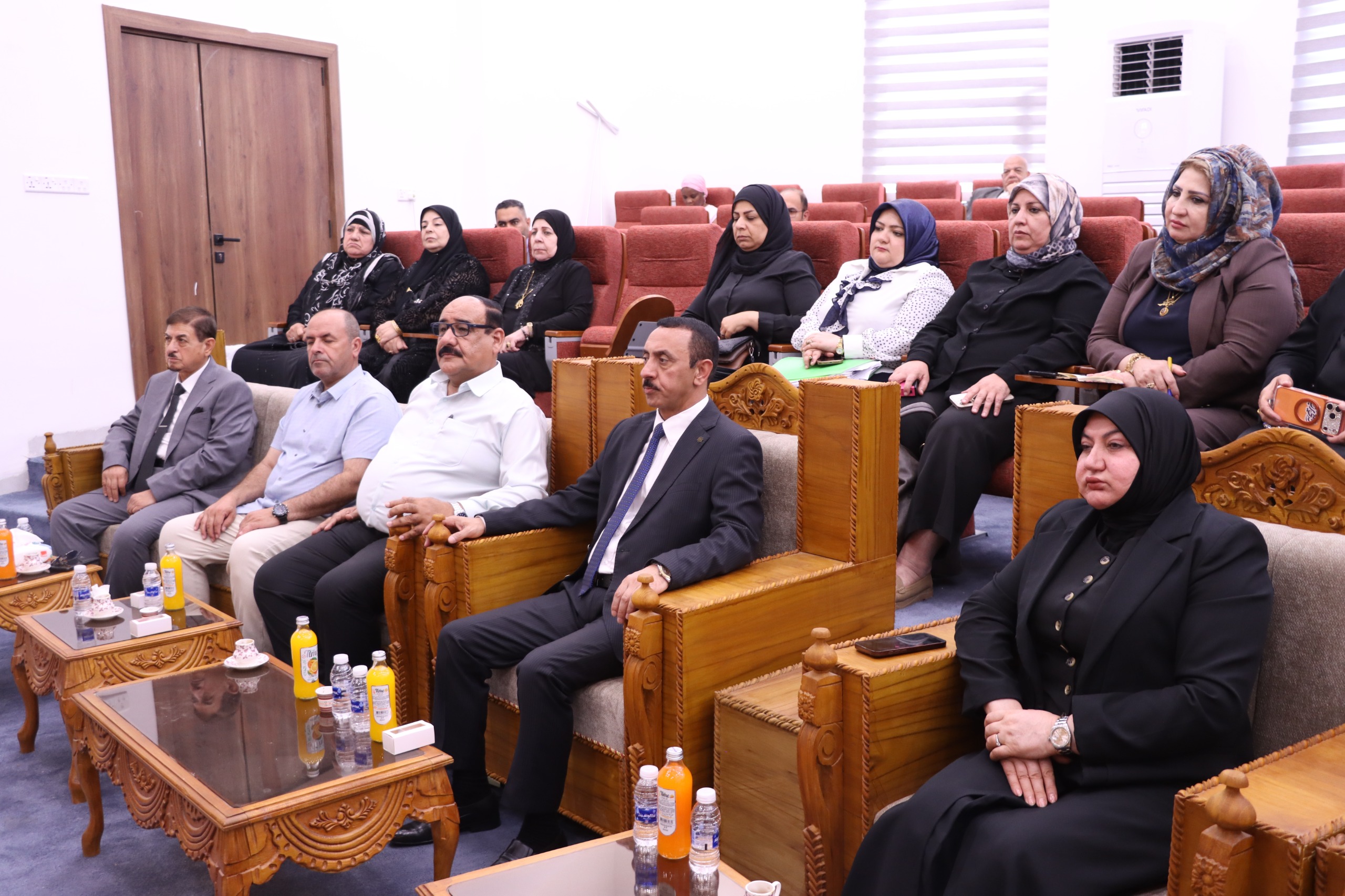

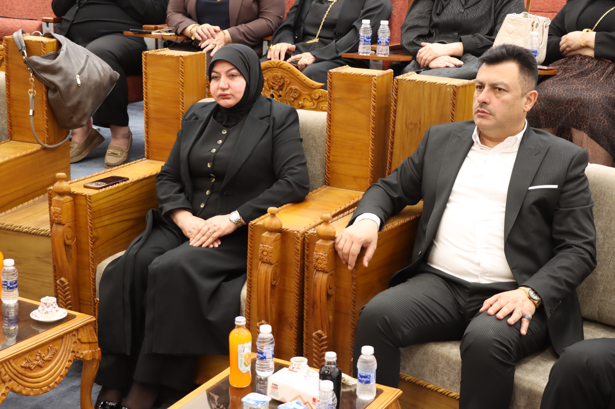

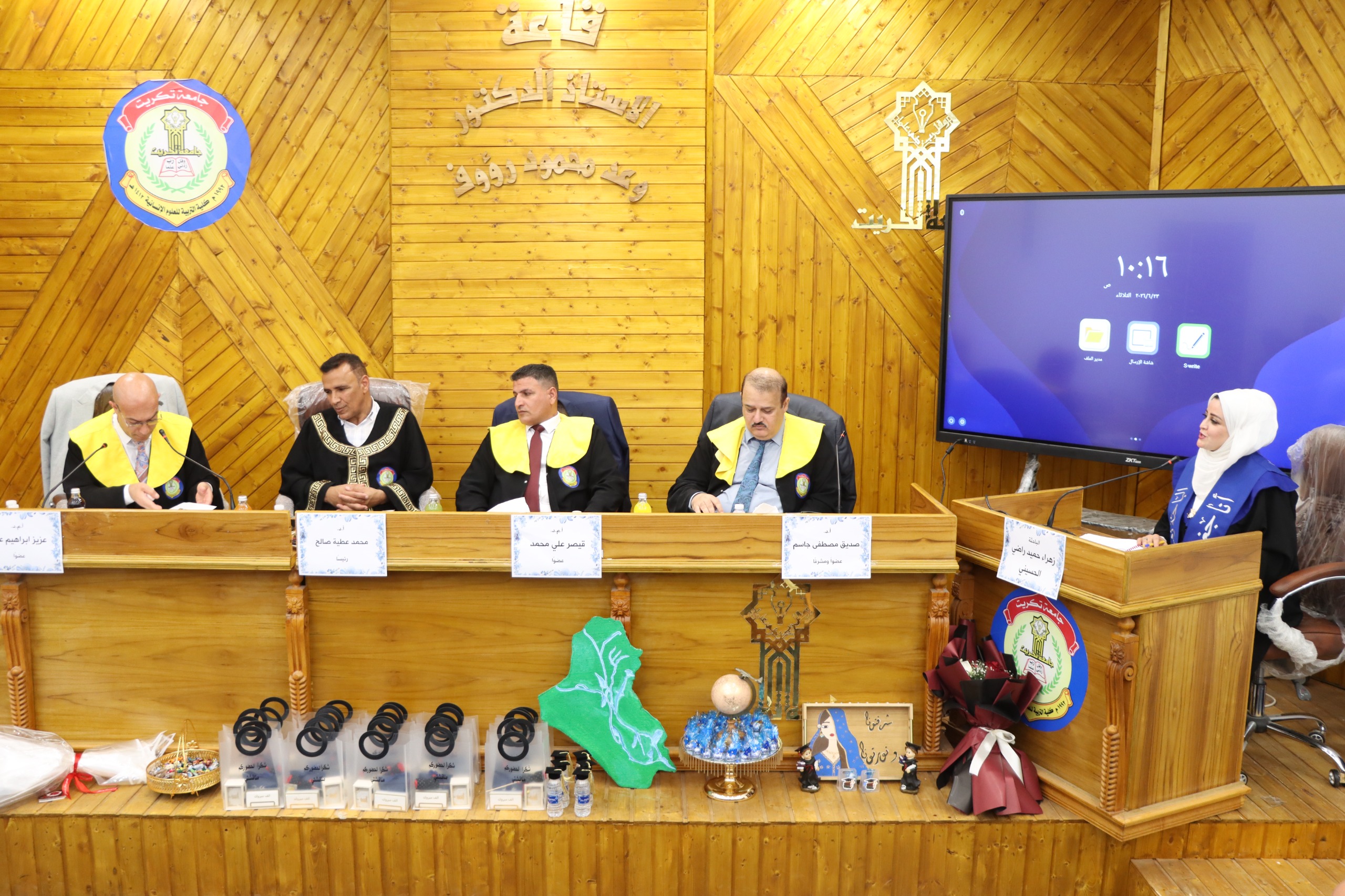
A Master’s thesis was defended at the Department of Geography, College of Education for Humanities, on Tuesday, June 23, 2026, by the student Zahraa Hameed Radi Nayef Al-Husseini, entitled “Modeling Cartographic Aesthetic Dimensions in the Design of the Topographic Map of Baghdad City.”
The study aims to investigate and analyze the modeling of cartographic aesthetic dimensions and their functional role in the design and development of the topographic map of Baghdad City during the period extending from 1917 to 2020. The research problem emerged from the limited expressive capacity of traditional flat maps in representing the city’s complex morphological reality, which necessitated the exploration of technical and artistic frameworks capable of enhancing cartographic readability and strengthening visual engagement among map users.
The study adopted a descriptive-analytical approach supported by an experimental component through the application of Geographic Information Systems (GIS) techniques. This approach enabled the researcher to trace the structural and aesthetic transformations of Baghdad’s maps across five key historical periods represented by the years 1917, 1929, 1956, 2008, and 2020. The methodology involved the preparation and digitization of rare historical data, followed by advanced processing procedures that transformed conventional two-dimensional representations based on color abstraction into three-dimensional models employing shading, lighting, texture, visual variables, and graphic effects to create an immersive visual environment.
The study reached several important findings, including:
- The modeling of aesthetic dimensions in Baghdad’s topographic maps is no longer merely an artistic luxury but has become a cartographic necessity. The modeling process successfully transformed the map from a static repository of data into an effective visual communication tool, enhancing the reader’s ability to comprehend spatial complexity through structured visual representation.
- The study demonstrated that the transition from traditional two-dimensional maps to 3D modeling significantly improved intuitive spatial perception. The aesthetic value generated through shading, lighting, and texture reduced the cognitive effort previously required to interpret abstract contour lines, transforming them into direct and accessible visual representations.
- The findings revealed that the success of aesthetic design in Baghdad’s maps relied on transforming structural symbols from abstract geometric forms into tangible visual entities. This transformation—particularly in landmarks such as the Tigris River and the historic urban fabric—enhanced the historical and geographical authenticity of the maps while increasing their exploratory appeal to users.
- The results indicated that integrating cartographic patterns (point, line, and area features) with modern visual variables achieved what is known as visual hierarchy. Colors and shading provided visual prominence to strategic landmarks, thereby organizing the visual perception process and reducing distraction caused by the density of topographic information.
The examination committee consisted of:
- Asst. Prof. Dr. Mohammed Atiyah Saleh – University of Tikrit, College of Education for Humanities (Chair)
- Asst. Prof. Dr. Aziz Ibrahim Ali – University of Tikrit, College of Arts (Member)
- Asst. Prof. Dr. Qaisar Ali Mohammed – University of Tikrit, College of Education for Humanities (Member)
- Prof. Dr. Sadiq Mustafa Jassim – University of Tikrit, College of Education for Humanities (Member and Supervisor)
Media and Government Communication Division
College of Education for Humanities – University of Tikrit